Floodplain trails
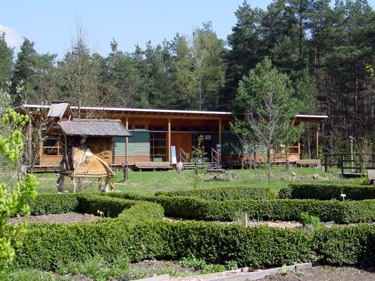
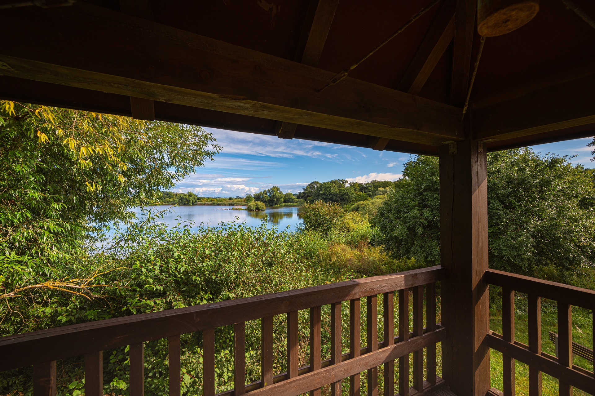
Information center „Auenhaus” and its surroundings
The surroundings of the Auenhaus are diverse enough to allow for several interesting trails. There is a trail with a focus on fruits („Obstlehrpfad”) supplying information on 70 different varieties of fruit and about wild fruits and meadow orchards, a cultural asset with high aesthetic and ecological value. Along the nature discovery trail you can stop at the Auenhaus with its landscaped outdoor area, at the renaturalized section of the Landeskulturgraben and at the beaver release site. For visually impaired visitors, there is a nature trail with markings in braille. The 80-meter-long willow nature trail near the beaver enclosure illustrates the diversity of the plant genus at hand, the salix or willow.
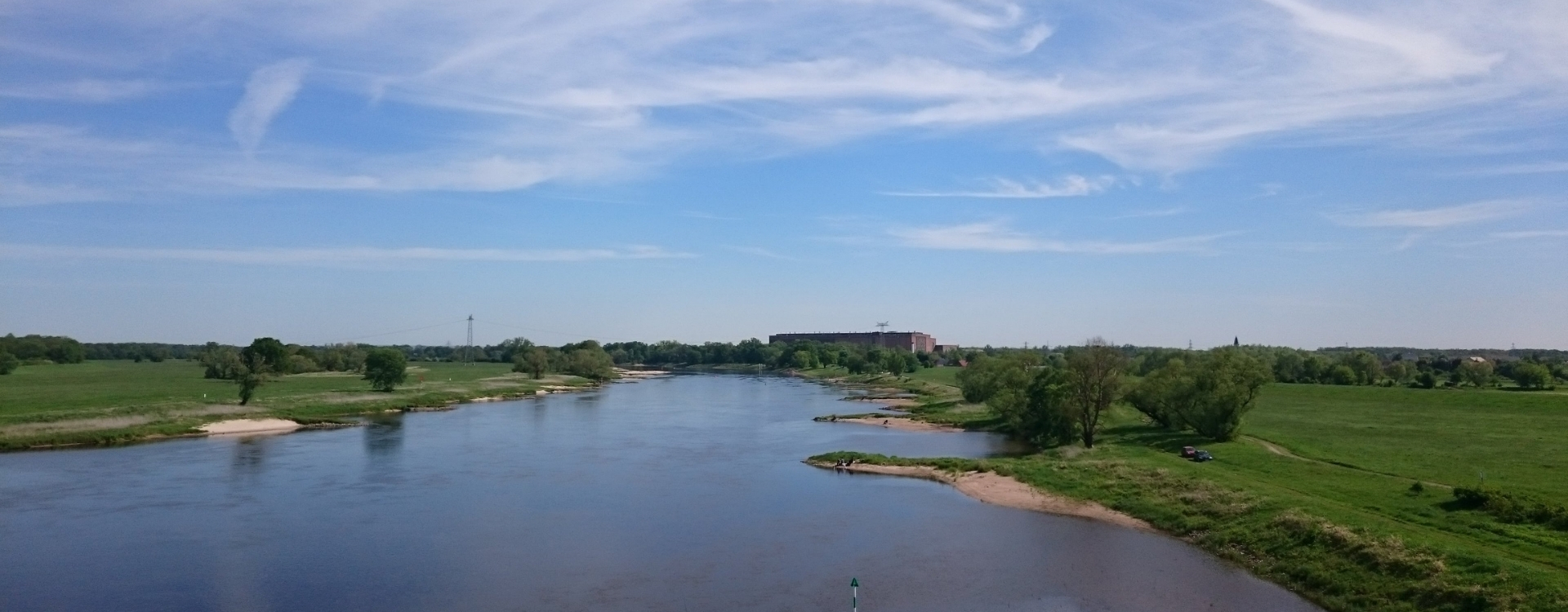
Floodplain Trail „Marina Camp Wittenberg”
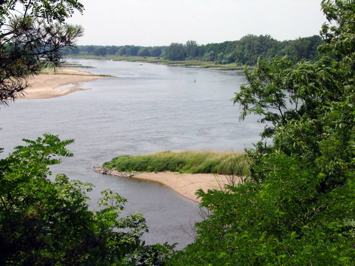
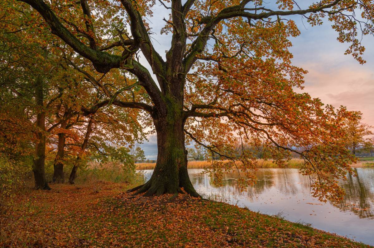
This circular trail of almost 10 kilometers provides many interesting insights into the history and present of the riverscape around Wittenberg. Floodings shaped the landscape in earlier centuries. The constant change between high and low water has long acted as a life-giving process in the floodplain and continues to shape the animal and plant species typical for the area. The path through the floodplain leads past the Probstei, continuing between the floodplain forest and the Elbe towards the newly built dike between Boos and Pratau. Here, the Middle Elbe Biosphere Reserve shows itself from its typical side.
Floodplain Trail along the Kühnau lake (Kühnauer See)
The park of Kühnau (Kühnauer Park) is the youngest part of the designed landscape of the Garden Kingdom Dessau-Wörlitz. Created at the start of the 19th century based on English precursors, it sits right next to Kühnau’s lake (an oxbow lake of the Elbe). The floodplain path has three entrances: at the parking lot, near the church and near the obelisk, where overview boards help visitors with their initial orientation. A lookout tower allows for wide views of the area. From up here, the transition between park and floodplain is almost imperceptible.
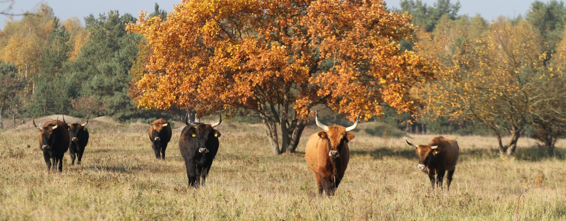
Floodplain Trail „Oranienbaumer Heide"
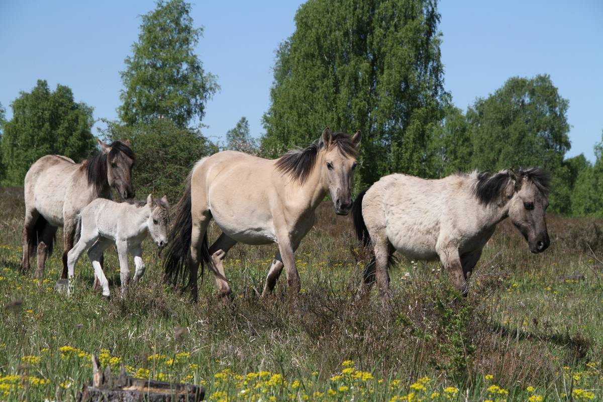
This place exists not despite its long military use, but because of it. Soon after the withdrawal of the last CIS forces from the military training area Oranienbaumer Heide, people realized what natural treasure had survived and even developed further because of this special form of land use. Roughly 800 hectare of open landscape with a rich occurrence of sensitive habitats and sometimes rare animal and plant species were now open to interested visitors. The floodplain trail provides detailed information about the biodiversity and the special features of the area.
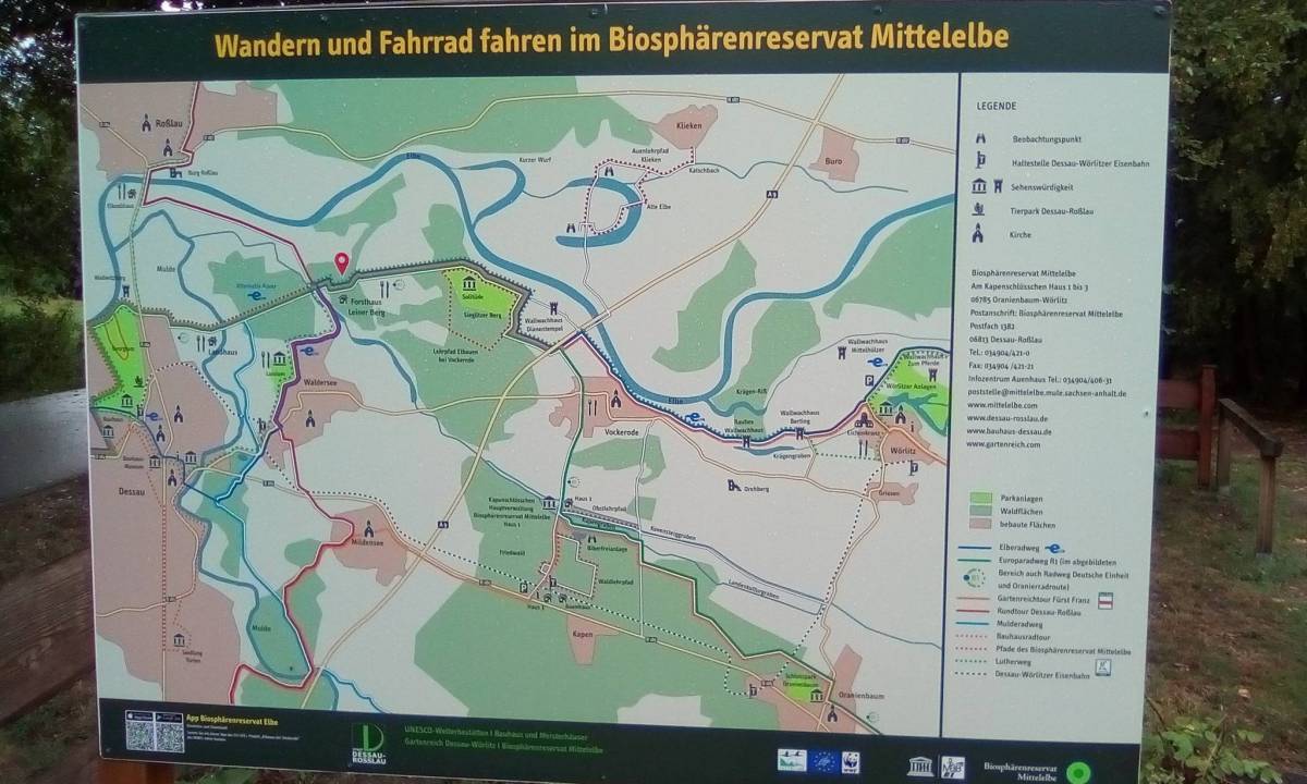
You can find more information about the floodplain and nature trails in the Central Elbe Biosphere Reserve in the overview brochure below. Alternatively, please use the interactive map of the biosphere reserve.
»read more